$24.80
$31.00
50% OFF! Hot items selling fast—Grab them before they're gone!
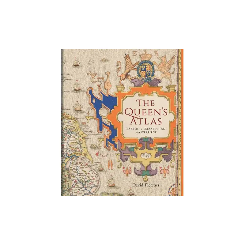
Nowadays, we take for granted the ready availability of maps of all kinds. In mid-Tudor England, they were rare. All this was to change in 1579 when Christopher Saxton, a farmer from the West Riding of Yorkshire, became the first cartographer to make a published atlas of all the counties of England and Wales. This book traces the story of Saxton’s life and legacy by reconstructing his extraordinary mapmaking project alongside the crucial nature of the support and encouragement he received from Queen Elizabeth I and her court.